![]()
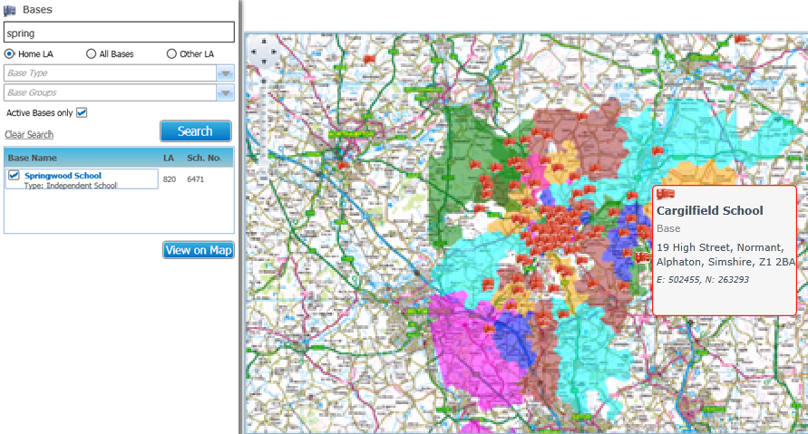
View Bases on a Map
Bases that are geocoded can be displayed on a GIS map. The base address is used to geocode the base.
The All Bases on Map functionality is subject to permissions and GIS licensing.
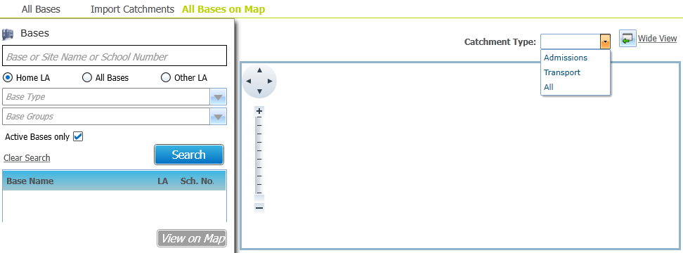
- Select Bases | All Bases on Map to display the All Bases on Map page.
- Enter search criteria as required.
- Click the Search button to view a list of bases that match your search criteria.
- Select one or more checkboxes adjacent to the required bases.
- If required, select a Catchment Type from the drop-down list.
- Click the View on Map button to display the selected geocoded bases and associated catchments.
Hover over a school icon to see details of that school.